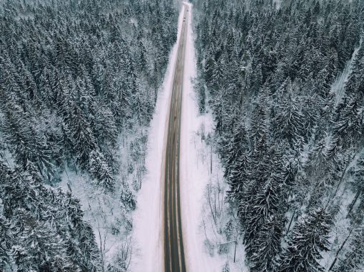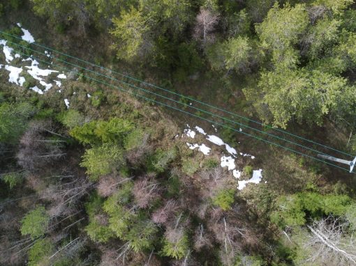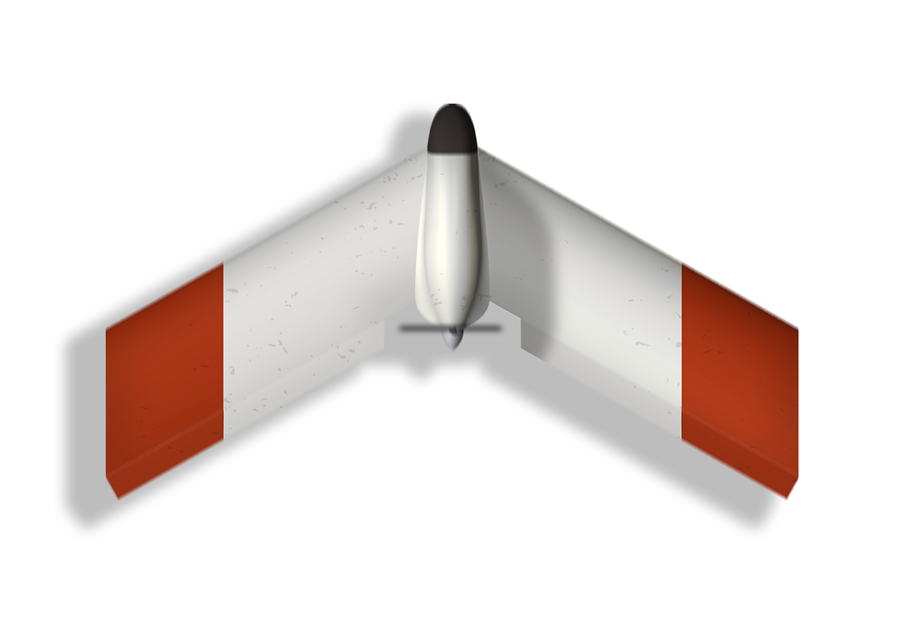
Fixed Wing Drones
Our fixed wing drones are designed to withstand harsh weather conditions and its aerodynamic shape provides long flight time. They are built to last, you can safely smash into a tree or a rock without breaking the drone.
Customized Solutions
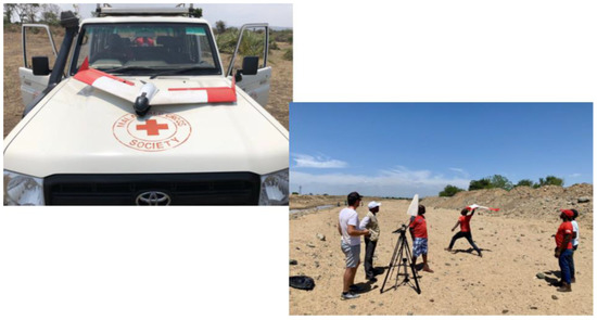
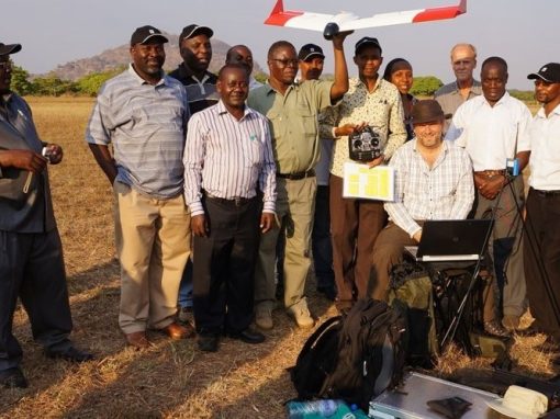
Smartplanes adapts drone systems to the customer’s needs, to make the work efficient. Give us the conditions and we will develop the drone for you. The only limit to what our fixed wing drones can be used for is your imagination
Software
Smartplanes is reseller of Agisoft Metashape who process digital images and generate 3D spatial data. It is a versatile and easy system that can be adapted to different types of end results.
About Us
We operate in the north of Sweden, in Jävre Norrbotten and Hörnefors, Västerbotten. We develop high-quality and state-of-the-art commercial fixed wing drones for aerial mapping, surveying, remote sensing and surveillance. Among other areas of use.
Get a Quote
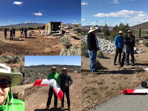
Projects